CAD-GIS Integration
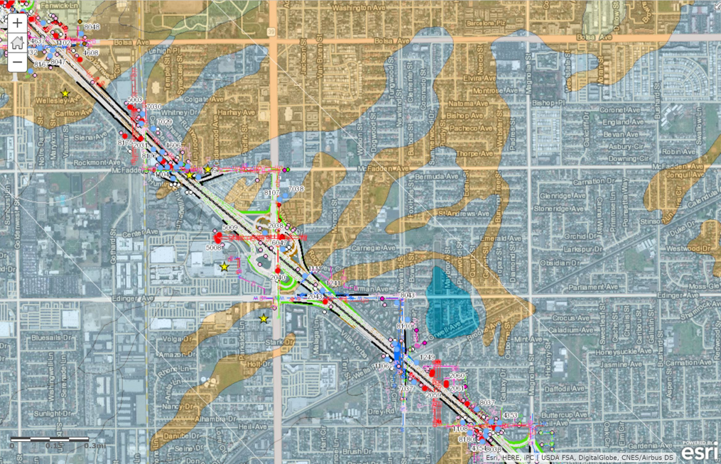
GIS technology is on the rise in a field which has been dominated by CAD software and BIM technology. GIS is increasingly seen as a valuable tool that can supplement the capabilities of these other two systems. If you want to compare your project's data to other aspects of the environment, such as aerial photography, a site's topography, soil profile, slope, or other nearby projects, GIS provides an intuitive platform which can do it all.
GIS plays an especially useful role on large, regional construction projects. GIS can be used to share real-time information regarding the status of various construction tasks at a granular level, and it can also convey information about the progress of project phases. The information is mobile and can be brought into the field thanks to recent advances in hardware and robust cellular networks able to process large amounts of data.
Lean Construction
Lean Construction Management principles are rapidly becoming integral in major construction jobs. Many firms have a “Lean Advocate” who works toward implementing Lean concepts. GIS helps teams fulfill many of the major tenets of lean construction. Lean Construction is modeled after Lean Manufacturing principles, used and promoted by Toyota as the Toyota Production System (TPS). The overarching goals are to maximize value by reducing waste. Traditional wastes are as follows:
Overproduction
Waiting
Unnecessary transport or conveyance
Over-processing or incorrect processing
Excess inventory
Motion
Defects
Latent skill
On construction jobs with a regional scope, using a GIS to streamline communication across an enterprise empowers all stakeholders (work crews, managers, tradesman, agencies) to get the information they need to make the best decisions. Examples of applications where GIS can be useful are asphalt overlay, streetlight conversions and high speed rail construction. Creating an interactive map as a platform to communicate has proven to be very effective at reducing inefficiencies, getting the most out of field crews and creating a pull-production environment, where systems are organized to deliver products and services “just-in-time.”
Asphalt Overlay
Viutek has used GIS on regional construction jobs like a $10 Million Asphalt Overlay project which involved paving streets across the city of San Diego. GIS was used to clearly define areas where work was to be done allowing for much more accurate estimates of project supplies and work crew time needed to complete project tasks.


