Streetlight Survey for 5G Small Cell Site Selection and Permitting
Client: City of San Diego Planning Department
Prime: Viutek Consulting, Inc.
Timeline: 8 months
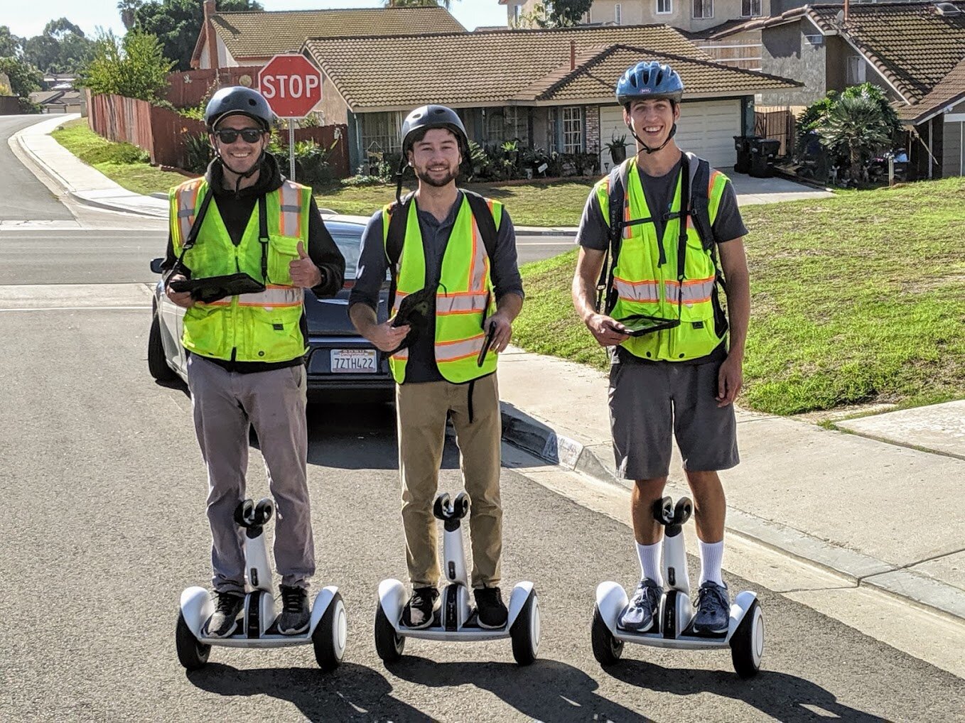
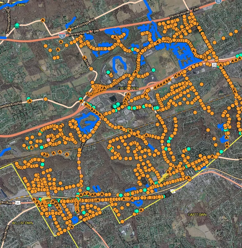
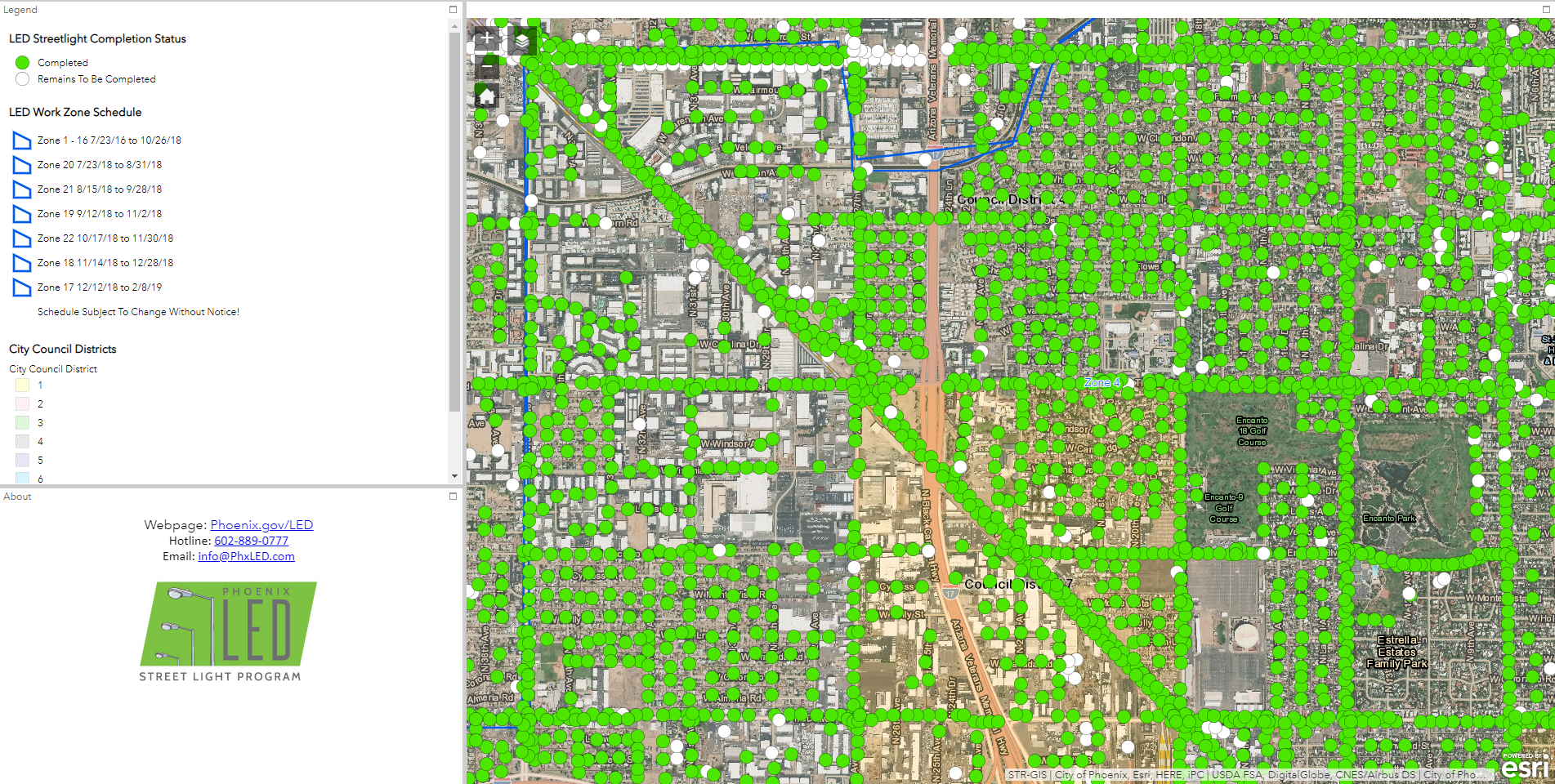
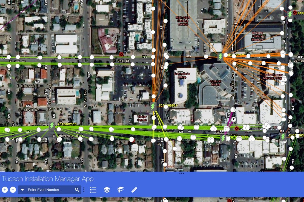
Viutek documented, reconciled, and compiled information for over 65,000 assets throughout the city of San Diego to create a reservation dashboard for 5G Small Cell installation. Viutek integrated a variety of datasets into a centralized geodatabase for use by field auditors, office staff and relevant client stakeholders seeking to use the data to inform their approach in selecting optimal locations to install broadband network technology assets.
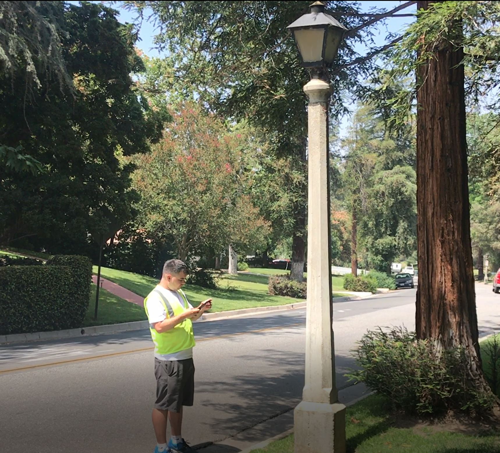
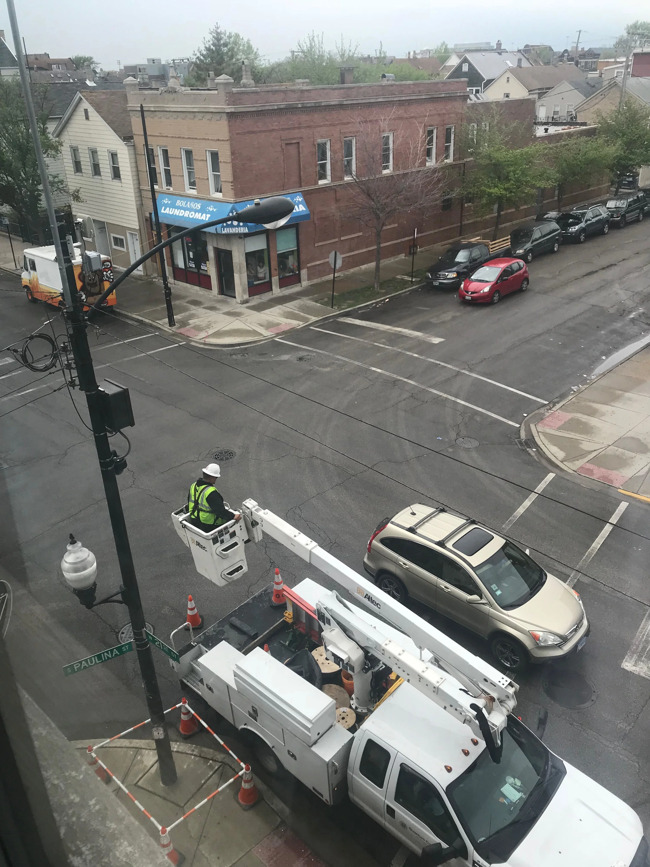
Seven photos were collected of each asset and surrounding area to assist with network design. Viutek developed a system which allowed for the 450,000+ photos to be accessed from a cloud-based platform for use in the permitting process for installation.
Data collected included: fixtures present on each pole, presence of attachments, pole material, pole height, lamp type, and many other technical attributes required for 5G network planning and development. Additionally, seven photos were collected of the asset and surrounding area to assist with network design.
Viutek developed several solutions which allowed the team to perform the work more efficiently, including the use of alternative mobility modes, project dashboards to allow real-time data observation and analysis, as well as several custom GIS applications designed to facilitate stakeholder involvement.
Smart Sensor Deployment, Enterprise GIS Data Management, and RFP Support
Client: City of San Diego Environmental Services Department
Prime: Viutek Consulting, Inc.
Timeline: multi-year contract
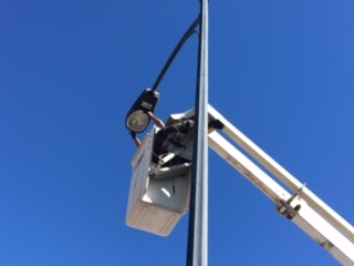
Initially subcontracting to Southern Contracting, Viutek Consulting completed a $16.03M project to convert 34,600 LS2 cobra head street lights from HPS and LPS to 12 different GE induction fixtures across 325 square miles in the City of San Diego. The project was in compliance with groundbreaking dark sky initiatives where 3000K fixtures were installed within a 30-35 mile buffer of local observatories. Viutek reconciled data from various inventories, a service that was required to meet criteria for collection of energy efficiency rebates. The data is shared via a read-only website, enabling the City and contractors real-time insight and transparency throughout the project lifecycle.
Upon successful completion of two separate competitively bid street light conversion projects (for which Viutek Consulting provided GIS support as a subcontractor to Southern Contracting and won an Exemplary Systems Award) the City of San Diego Environmental Services Department contracted directly with Viutek to provide staff augmentation. Viutek GIS is in the third year of this annually recurring contract. Under this contract, Viutek provides Request for Proposal (RFP) Development Support, Intelligent Node Deployment Support, and a Comprehensive Curbside Parking Audit. This parking data will be incorporated into the City's new City IQ Nodes, which will be used to improve parking conditions in San Diego.
The City of San Diego is deploying the world's largest smart city Internet of Things sensor platform with help from Current and AT&T. San Diego will collect real-time sensor data across the city using Current's CityIQ™ sensor node technology which will be installed on 3,200 of the city's street lights.
As-Needed Traffic Engineering Support for University Community Plan Amendment
Client: City of San Diego Planning Department
Prime: Kimley-Horn
Timeline: Ongoing
Viutek Consulting provided ongoing traffic engineering support to the Planning Department at the City of San Diego. Under this contract, the first Task Order was an update to the University Community Plan Amendment Circulation Element. Viutek analyzed five scenarios for 80 intersections and segments requiring 50 to 60 GIS maps to evaluate two options, a Regents Road gap bridge over a canyon and whether to widen Genesee Avenue from four to six lanes.
Viutek analyzed traffic flow using Esri ArcGIS Network Analyst to determine the behavior of each traffic scenario given these potential developments to the transportation network. In December 2016, the City Council approved amending the University Community Plan and General Plan to adopt the No Construction of Regents Road Bridge and Reconfiguration of Genesee Avenue Alternative.
The City of San Diego requested travel shed reports for residents in this area that utilized public transit (bus and/ or trolley) to identify gaps or delays in transportation connectivity. On an accelerated timeline, Viutek delivered GIS maps with seven different starting points to inform decision makers regarding next steps within the University Community Plan.
Balboa Station Area Plan - As-Needed Planning Consultant Services
Client: City of San Diego Planning Department
Prime: RRM Design Group
Timeline: Ongoing
Viutek provided mapping and analysis support for this project to provide recommendations for the areas adjacent to the Mid-Coast trolley station at Balboa within the Pacific Beach and Clairemont Mesa community planning areas. The recommendations address the future form of development in light of the introduction of the Mid-Coast Light Rail Transit (LRT) Trolley extension. Specific tasks included supporting community outreach and participation, providing an existing conditions report, mobility/transit assessments, urban design and visioning strategy, multimodal land use analysis, urban design, economic feasibility, parking and trip reduction, a traffic impact study, air quality analysis and biological analysis.
Viutek assisted in collecting data, creating data and generating land use exhibits. They also worked to obtain and analyze GIS data from SanGIS, including infrastructure layers, water/sewer lines and other types of utilities. Viutek used traditional GIS base-mapping technologies to support technical analysis and deliver recommendations consistent with public input received throughout the process. The specific plan provided policy recommendations which addressed land use, mobility, urban design, recreation, and conservation to enhance the Specific Plan Area.
As-Needed Civil Engineering & Consultant Services for Municipal Storm Water Program Support
Client: City of San Diego Transportation and Storm Water Department
Prime: Michael Baker
Timeline: 30 months
Viutek GIS provided data collection and compilation services for hydrologic, hydraulic, green infrastructure and water quality modeling for the City of San Diego’s Storm Water Department. The scope of Viutek’s work included updating current GIS data of the stormwater and drainage system utilizing various resources including aerial photos, digital elevation models, street view images, engineering drawings, site surveys and data from adjacent and overlapping jurisdictions.
The final data deliverable included rim elevation, invert elevation, pipe diameter, conduit type, junction type, structure type, inlet type, and width and depth dimensions of ditches. Viutek GIS overcame the challenge of scaling man-hours and human resources based on project needs and deadlines. By allocating field GIS technicians from other projects and training them quickly in order to collect the necessary data, Viutek GIS ensured that the project moved forward in a timely, efficient manner while maintaining the highest quality data possible.
Historical Monitoring Geodatabase Development
Client: City of San Diego Transportation and Storm Water Department
Prime: Wood PLC
Timeline: 11 months
Viutek supported the development of a GIS repository database for the City’s historical stormwater dataset. The Enterprise geodatabase was the foundation for the development of a large-scale GIS with ArcGIS Server Enterprise which used a combination of ArcObjects, ArcSDE technology, and RDBMS software to define how data was stored, accessed, and managed by ArcGIS. The City requested that previously developed file geodatabases be integrated into the Enterprise geodatabase centralized location. The Enterprise geodatabase was populated with final and fully QC’d stormwater infrastructure data.
Historical monitoring data submittals comprised primarily of Microsoft Access databases and Excel spreadsheets amongst project-specific data formats. Viutek used the most current California Environmental Data Exchange Network (CEDEN)-formatted template to provide consistency of data formatting across various projects.
Viutek worked closely with the City’s GIS and LIM system staff to maintain compatibility and provide seamless integration of the historical dataset from the Enterprise vault to the LIM system. The Enterprise geodatabase was developed using SQL Server, then created and managed on Viutek’s computer network until the final product was complete and transferred to the City.


